Quintin Tyree
I'm a Geospatial Developer with 5+ years of experience in building geospatial data pipelines and applications
I specialize in environmental modeling through remote sensing, assessing site suitability for energy infrastructure, and building powerful spatial analysis platforms.
What I Do
Expertise & Services
Geospatial Pipelines & Infrastructure
Cloud-native pipelines integrating federal datasets, satellite imagery, and serverless processing for real-time geospatial analysis.
Remote Sensing
Multi-sensor fusion with optical, SAR, and LiDAR. Land use classification, change detection, ecosystem monitoring.
Data Visualization
Publication-grade cartography and dashboards. Transforming complex spatial data into accessible visual stories.
Tyree Spatial Consulting
Production-grade geospatial data infrastructure for energy and environmental industries. We build data pipelines, site scoring engines, and document intelligence tools — replacing weeks of manual GIS work with automated, repeatable analysis.
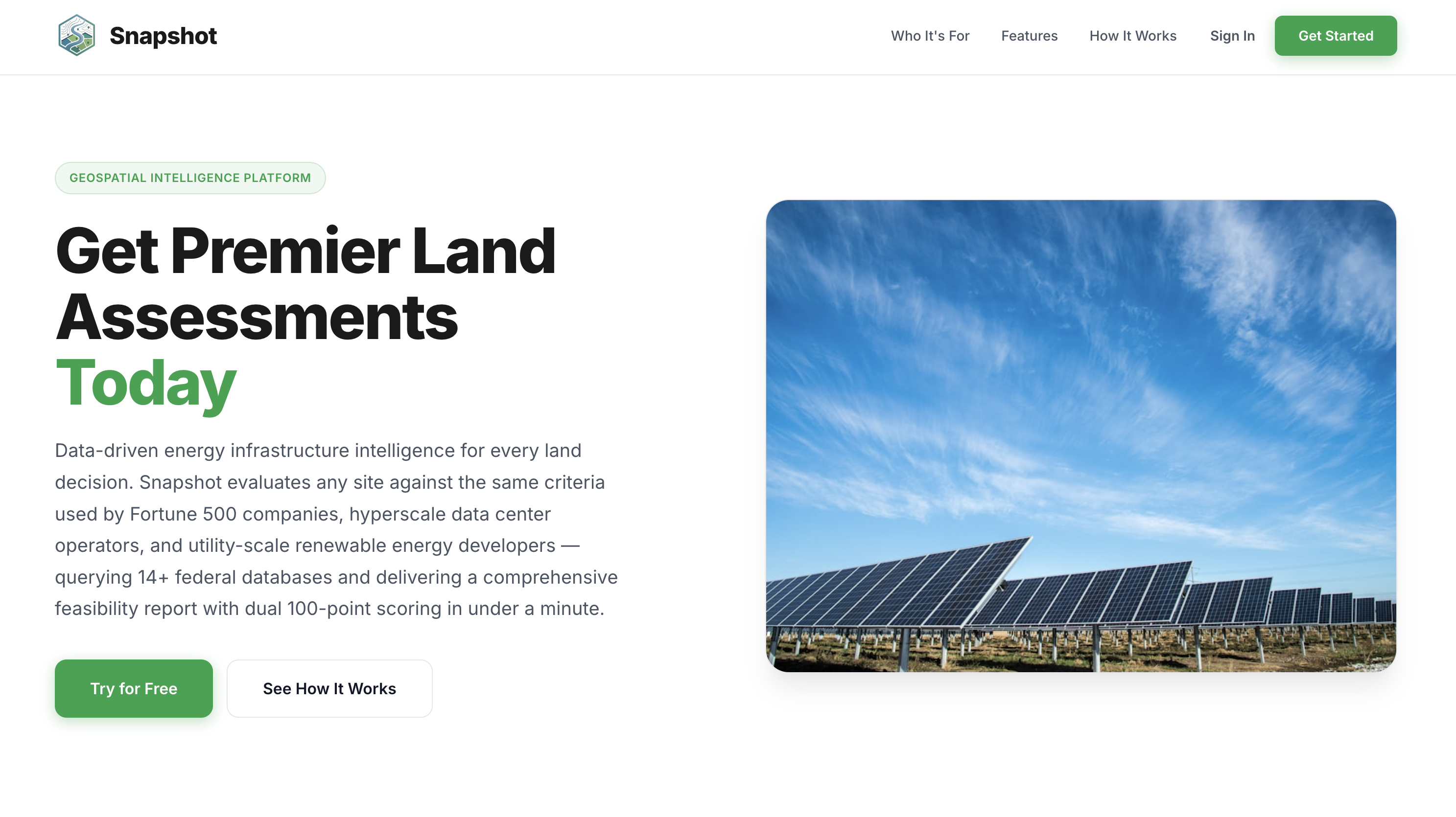
Snapshot
Automated site feasibility scoring for solar and energy development using 20+ federal datasets.
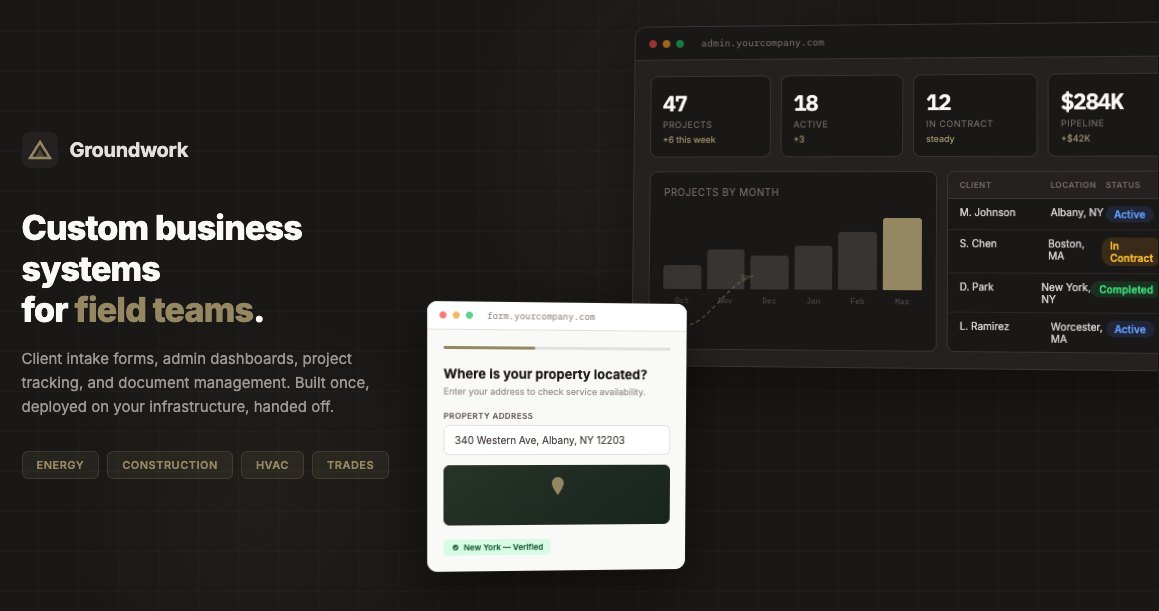
Groundwork
Custom client intake forms, admin dashboards, and pipeline management for energy and trades companies.
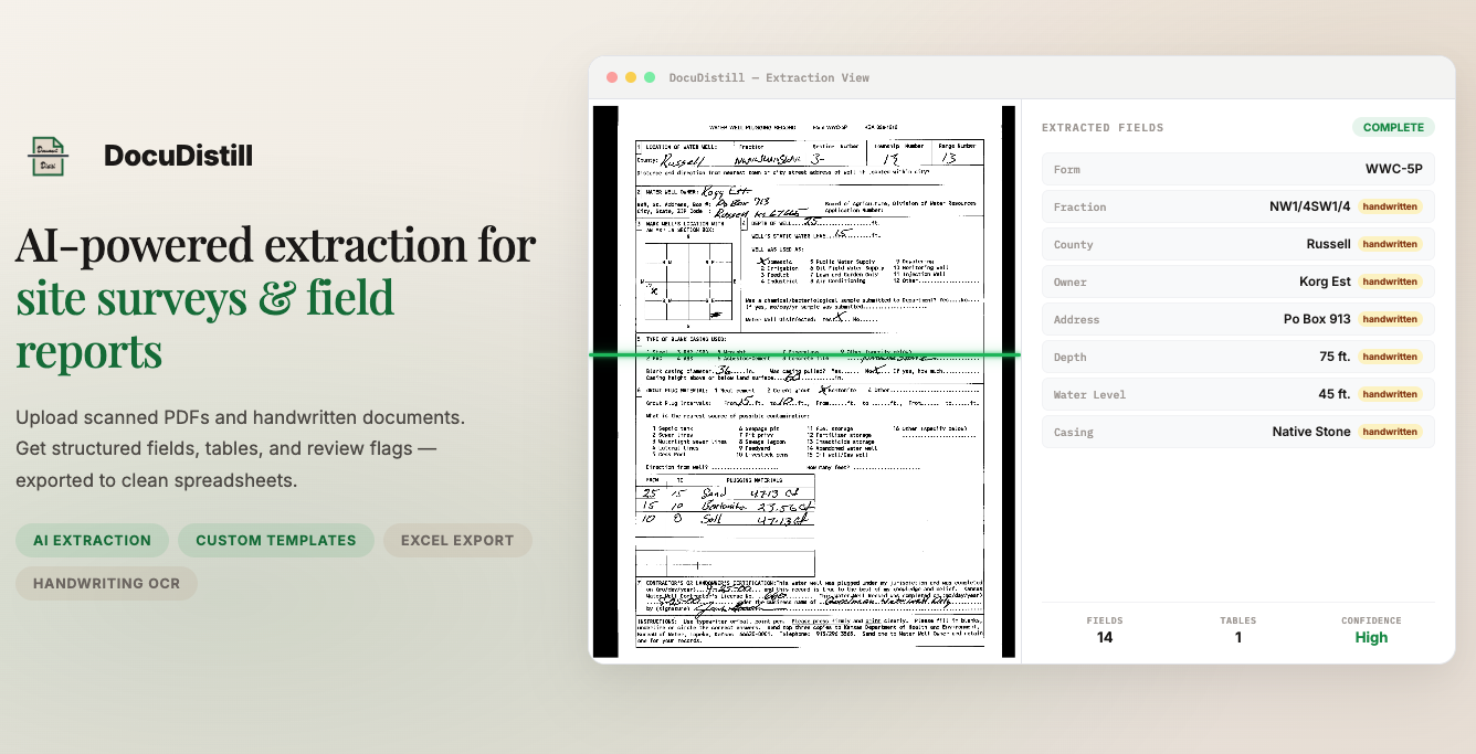
DocuDistill
AI-powered PDF extraction pipeline that converts unstructured documents into spreadsheet-ready data.
How It Works
Simple Process, Great Results
Discovery
We discuss your data, goals, and vision for the project.
Planning
I create a detailed plan with timeline and deliverables.
Delivery
I build your solution with iterative feedback until perfect.
Portfolio
More Products
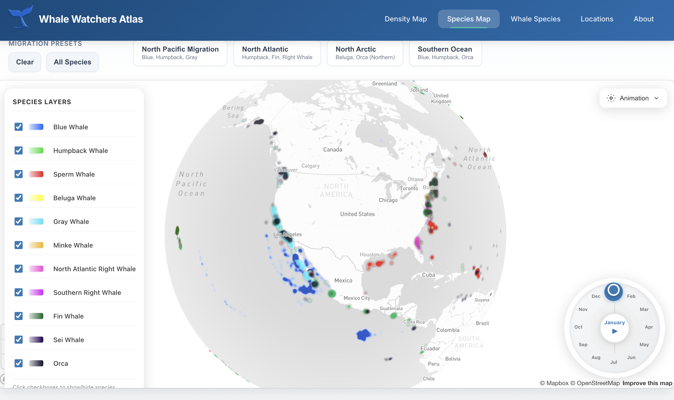
Whale Watchers Atlas
Marine Conservation
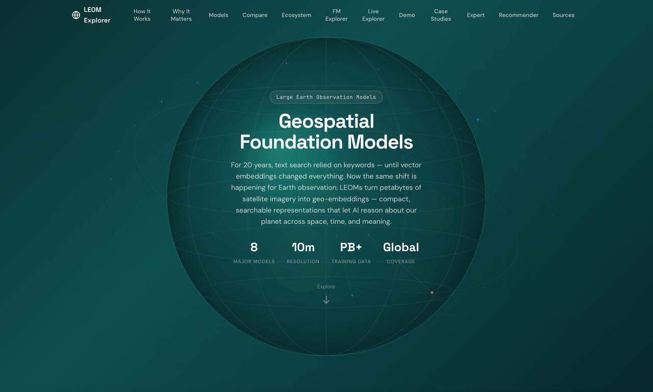
GeoFM Explorer
Foundation Models
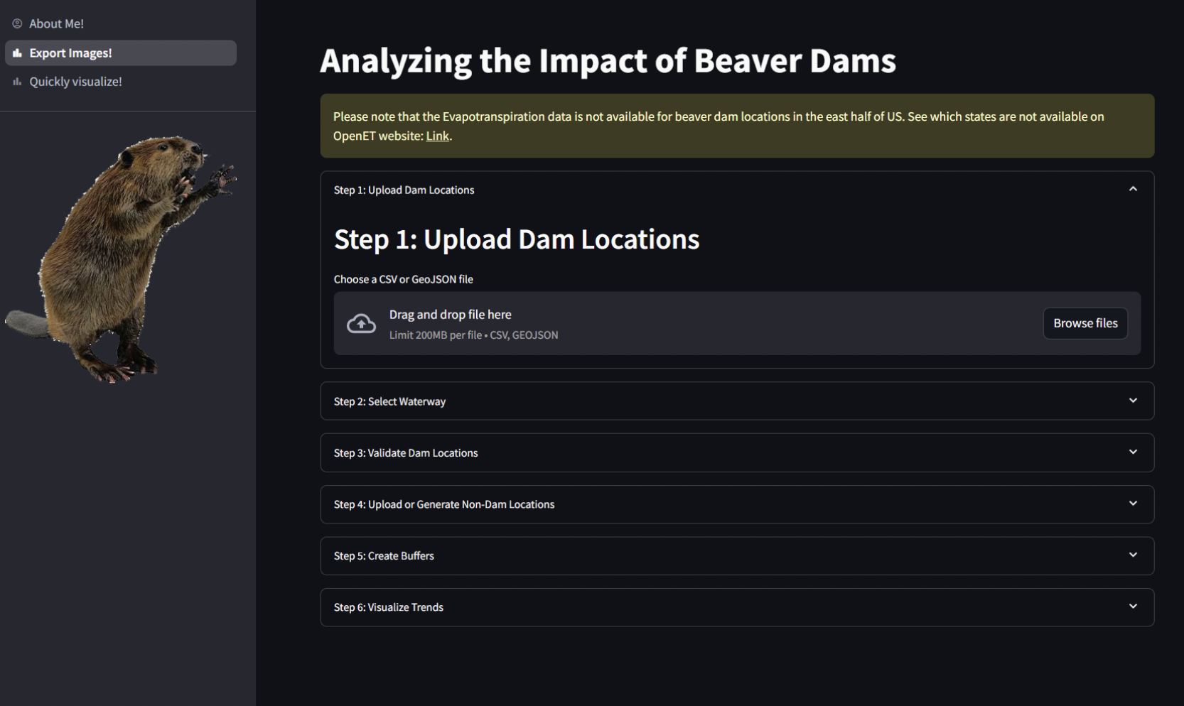
Beaver Impact Tool
Ecosystem Research
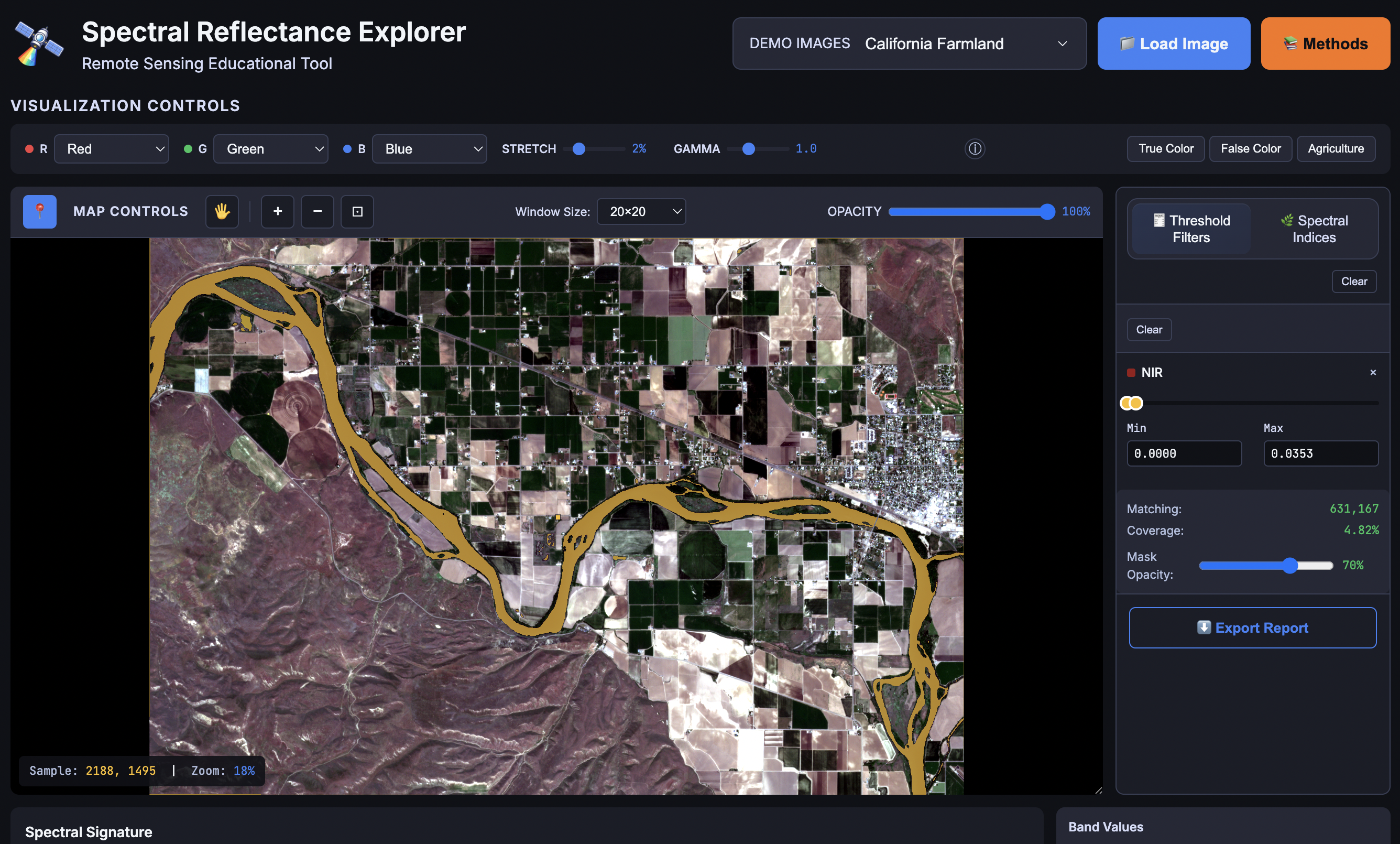
Explore Reflectance
Remote Sensing Education
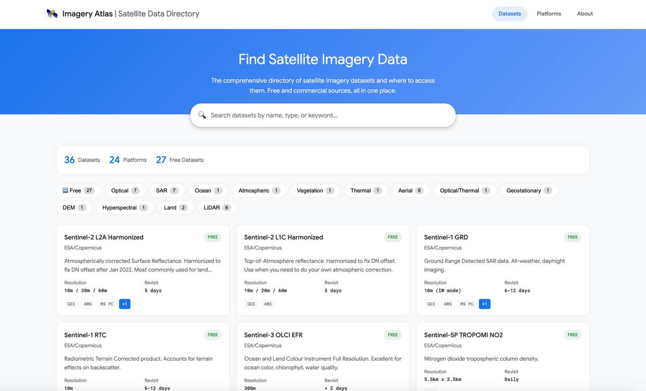
Imagery Atlas
Data Directory
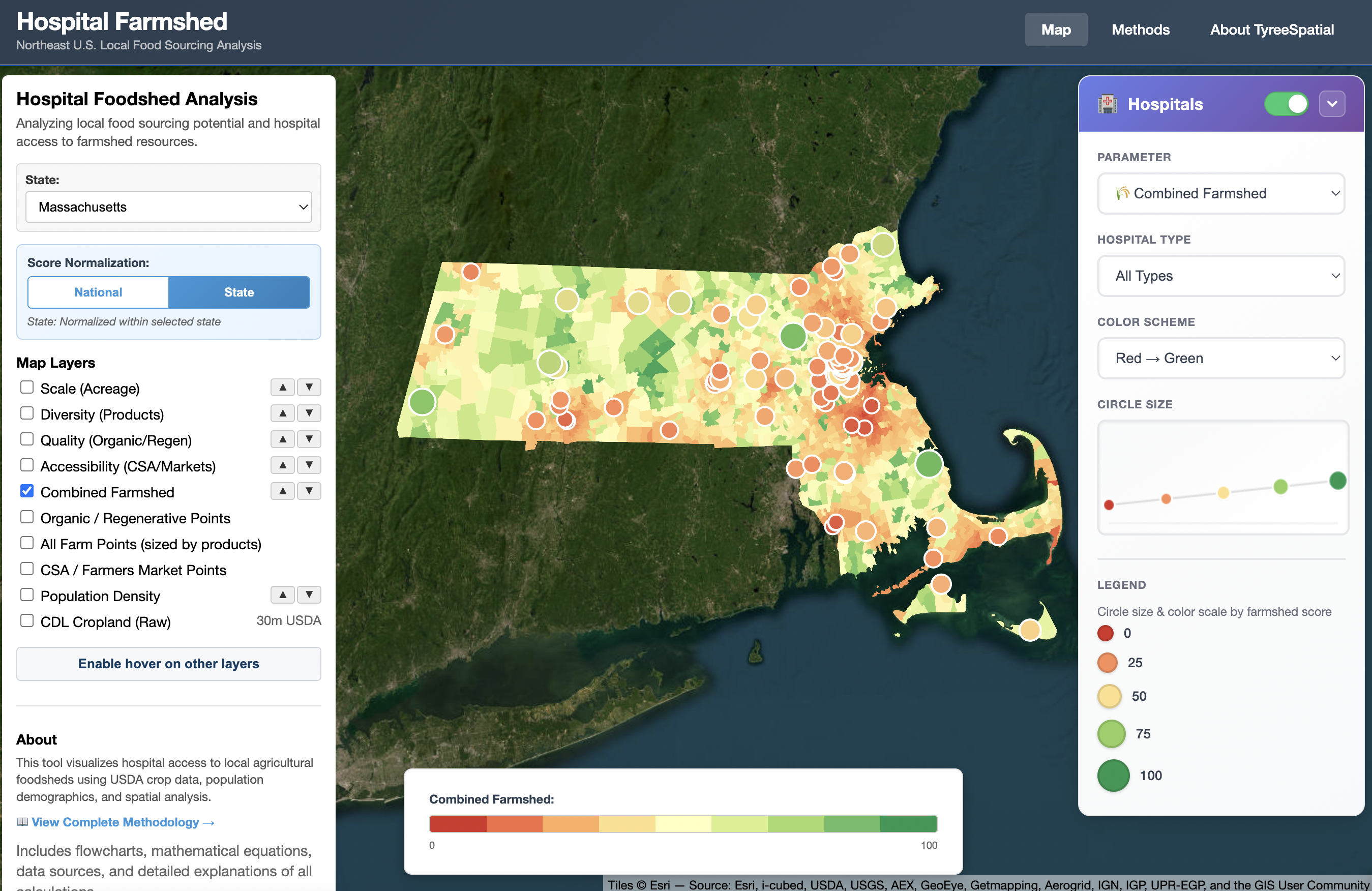
Hospital Farmshed
Agricultural Analysis
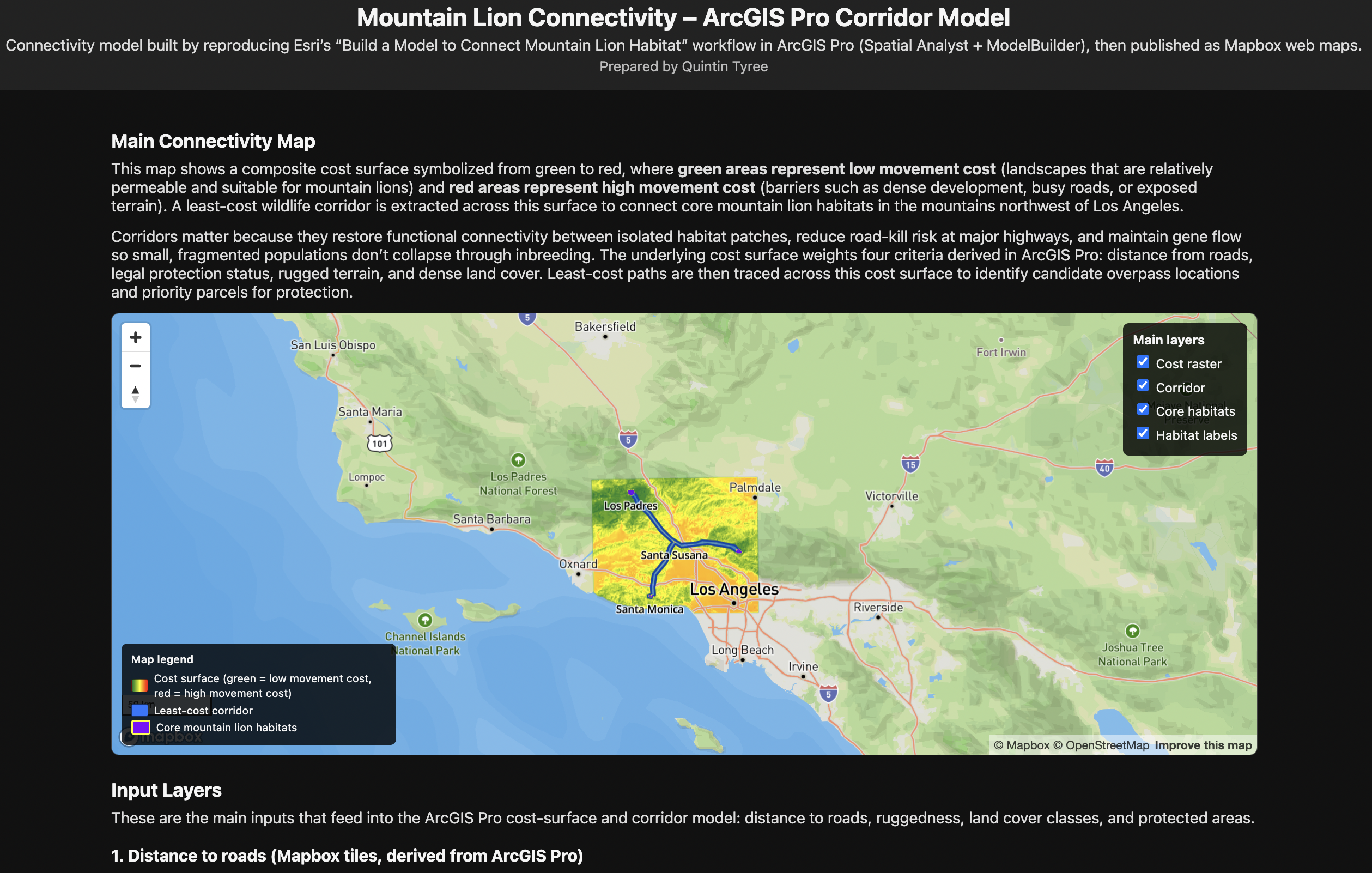
Habitat Connectivity
Wildlife Corridors
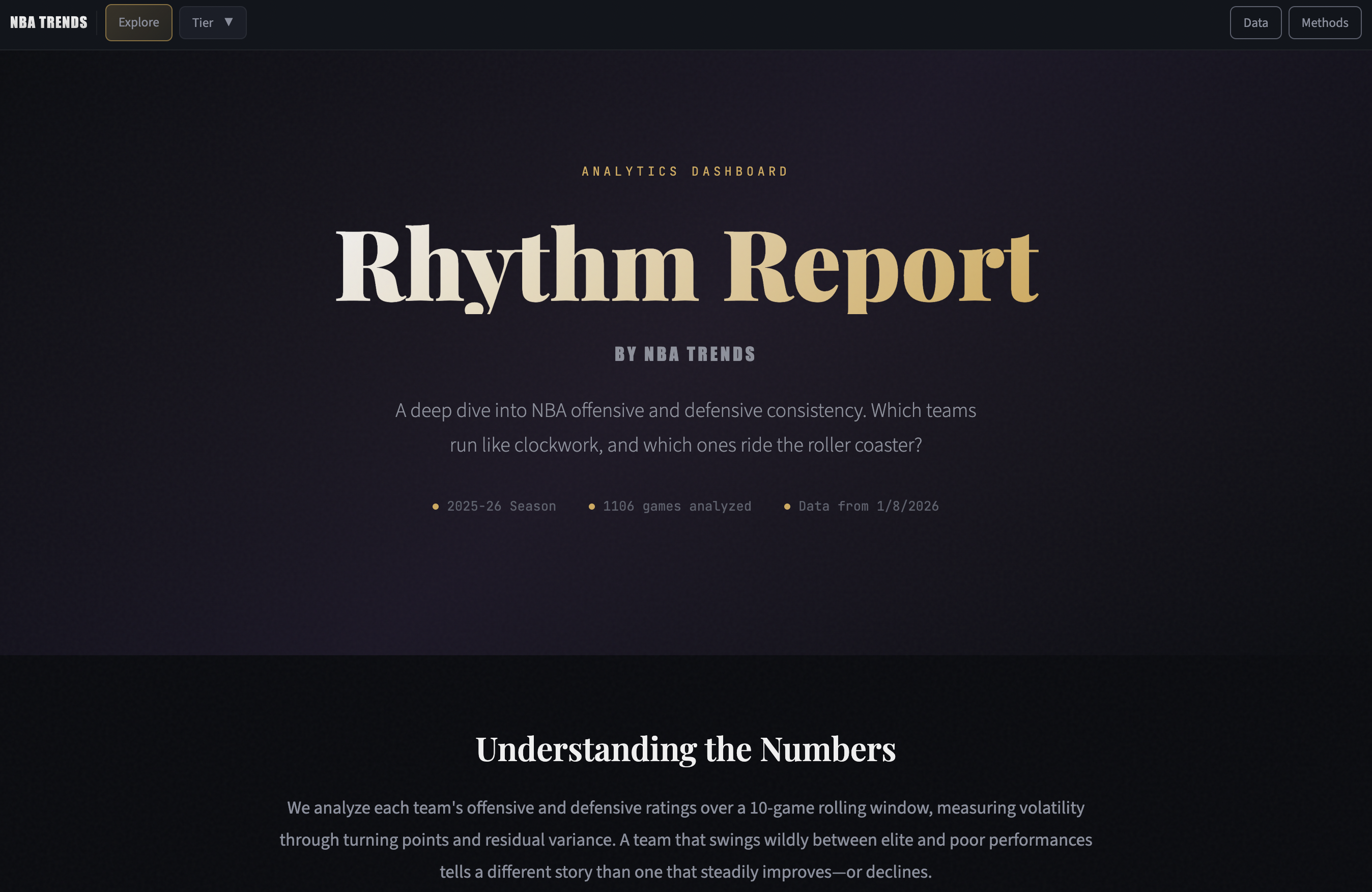
NBA Trends
Sports Analytics
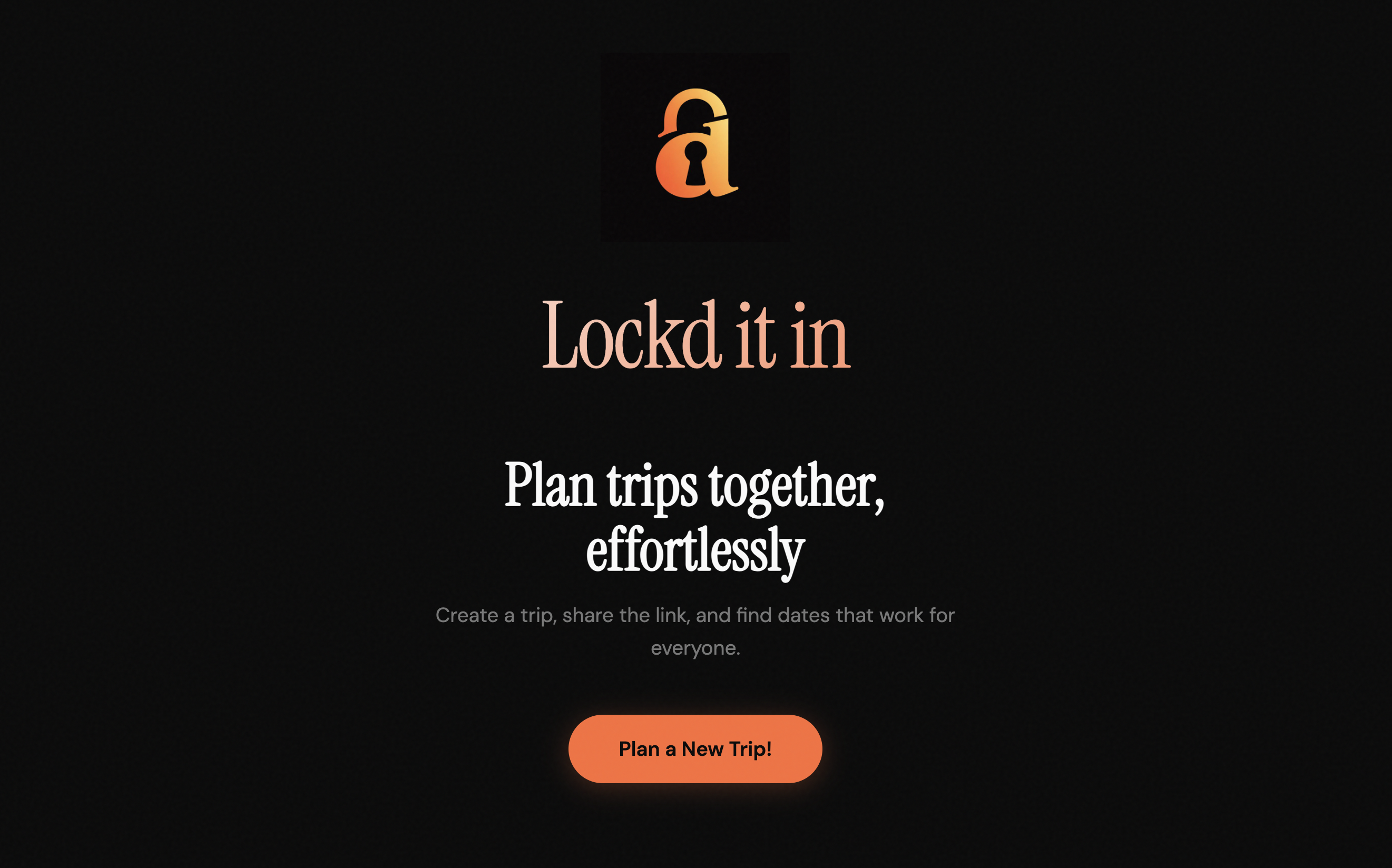
Lock'd It In
Trip Planning
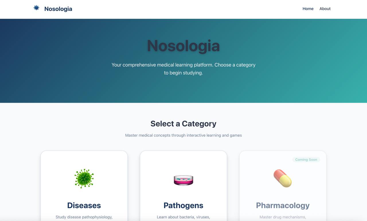
Nosologia
Medical Education
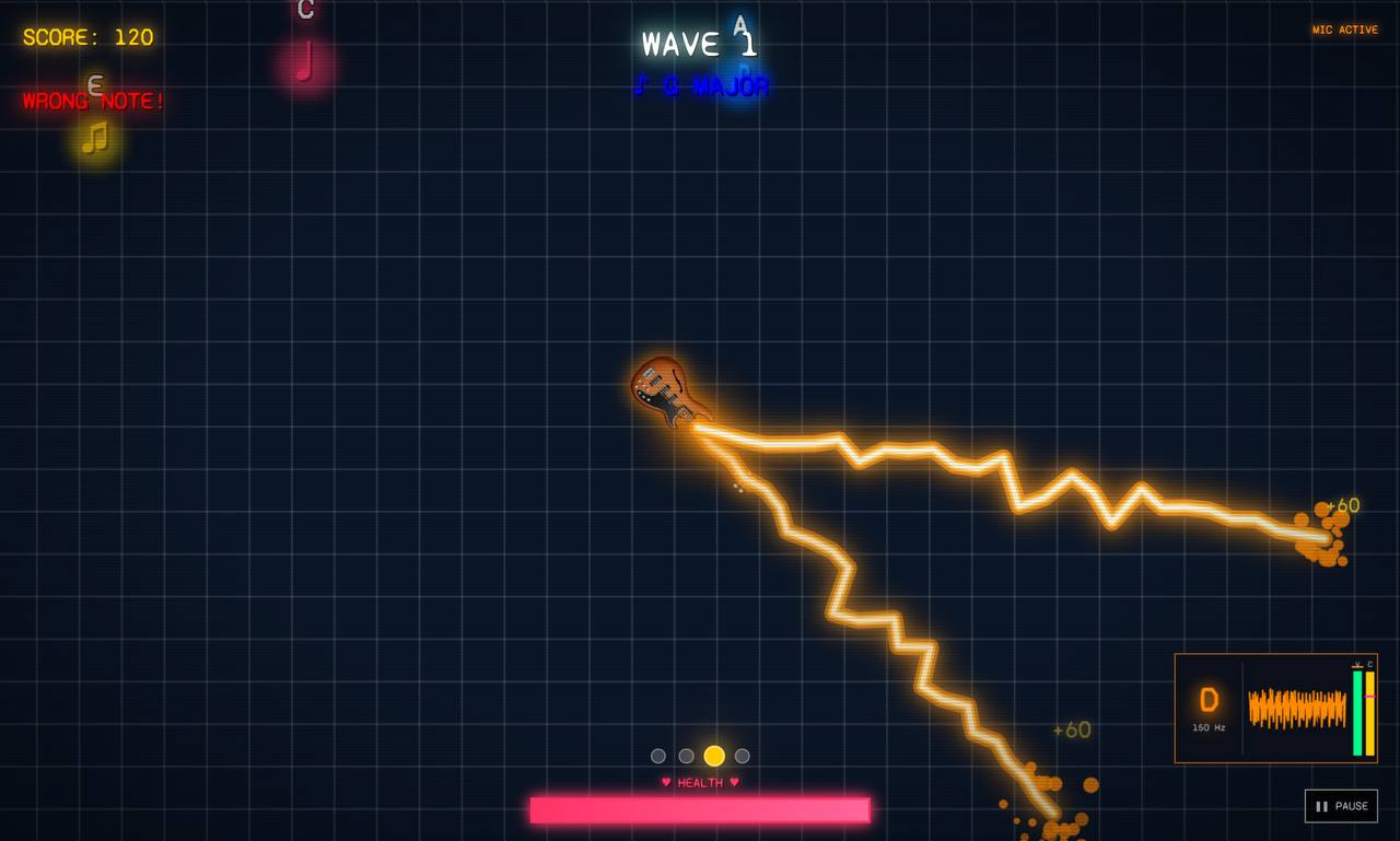
Groove Master
Music Practice
Ready to Transform Your Data?
Let's discuss how I can help bring your geospatial vision to life.
Start a Conversation